Interview with Dr. Catherina Cader from Reiner Lemoine Institut. She talks about the application of spatial data for the EnerSHelF project.
In a previous interview, you and your colleague Philipp Blechinger introduced the objective of work package 3.4 within the EnerSHelF project. What has been achieved since then?
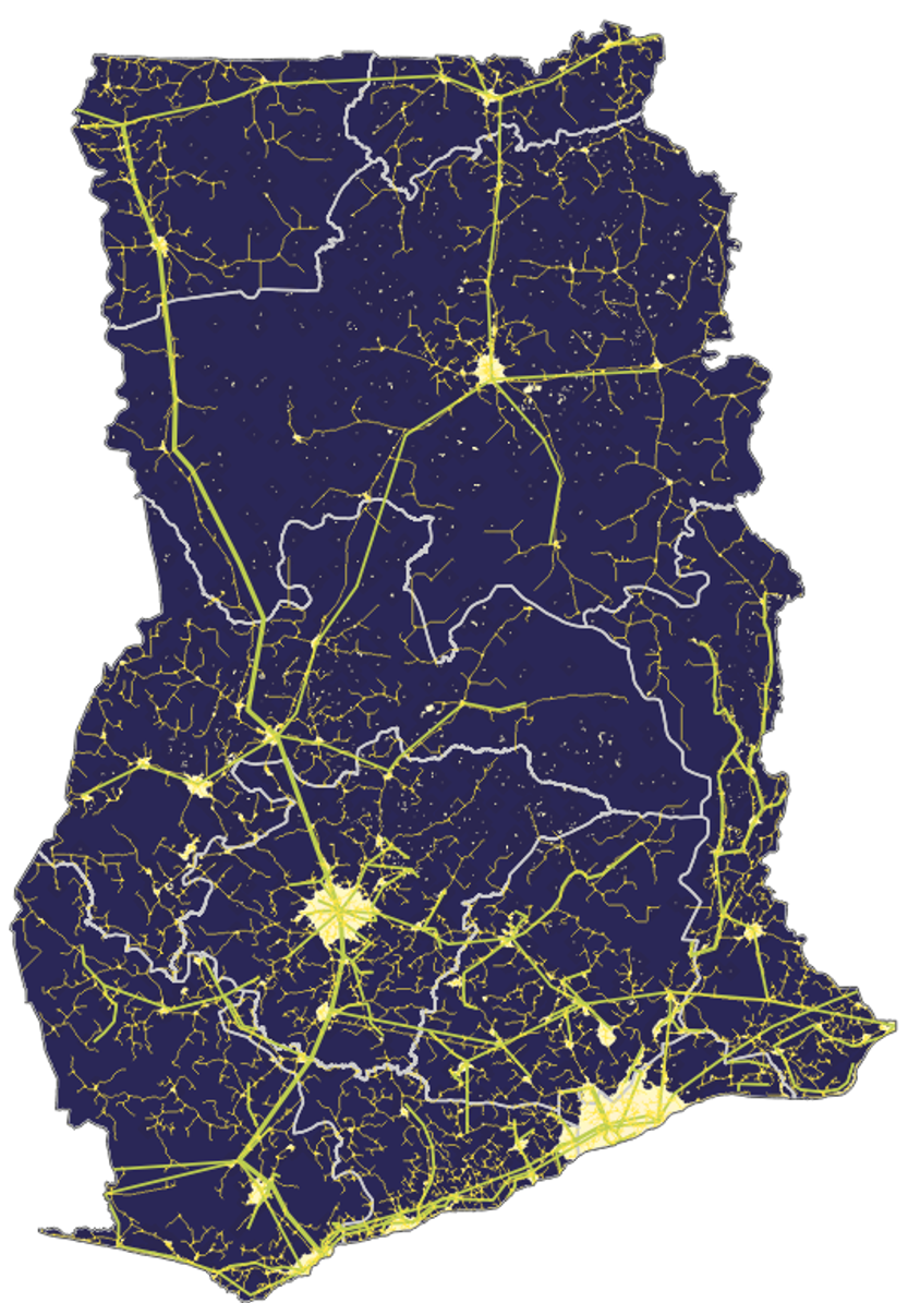
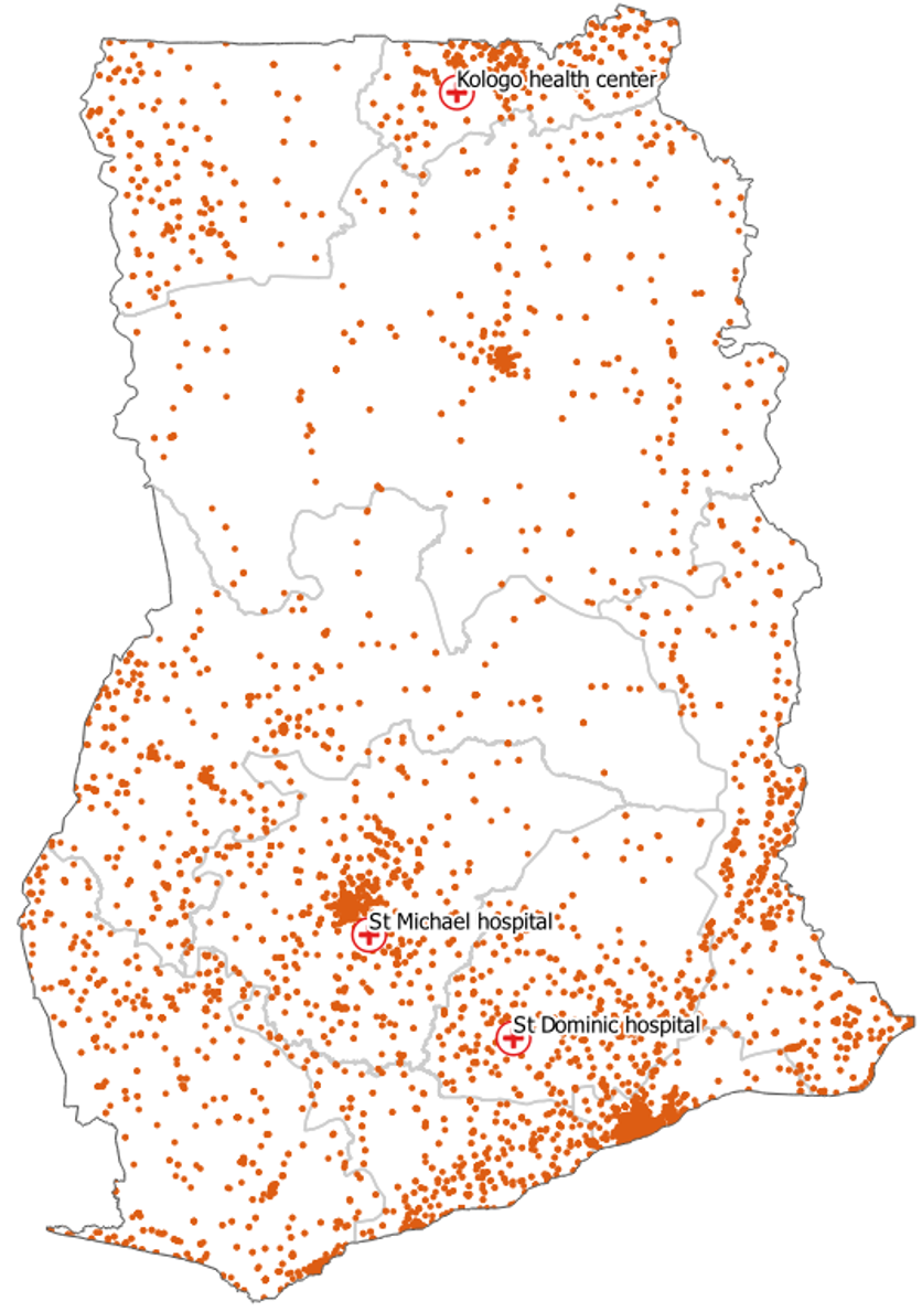
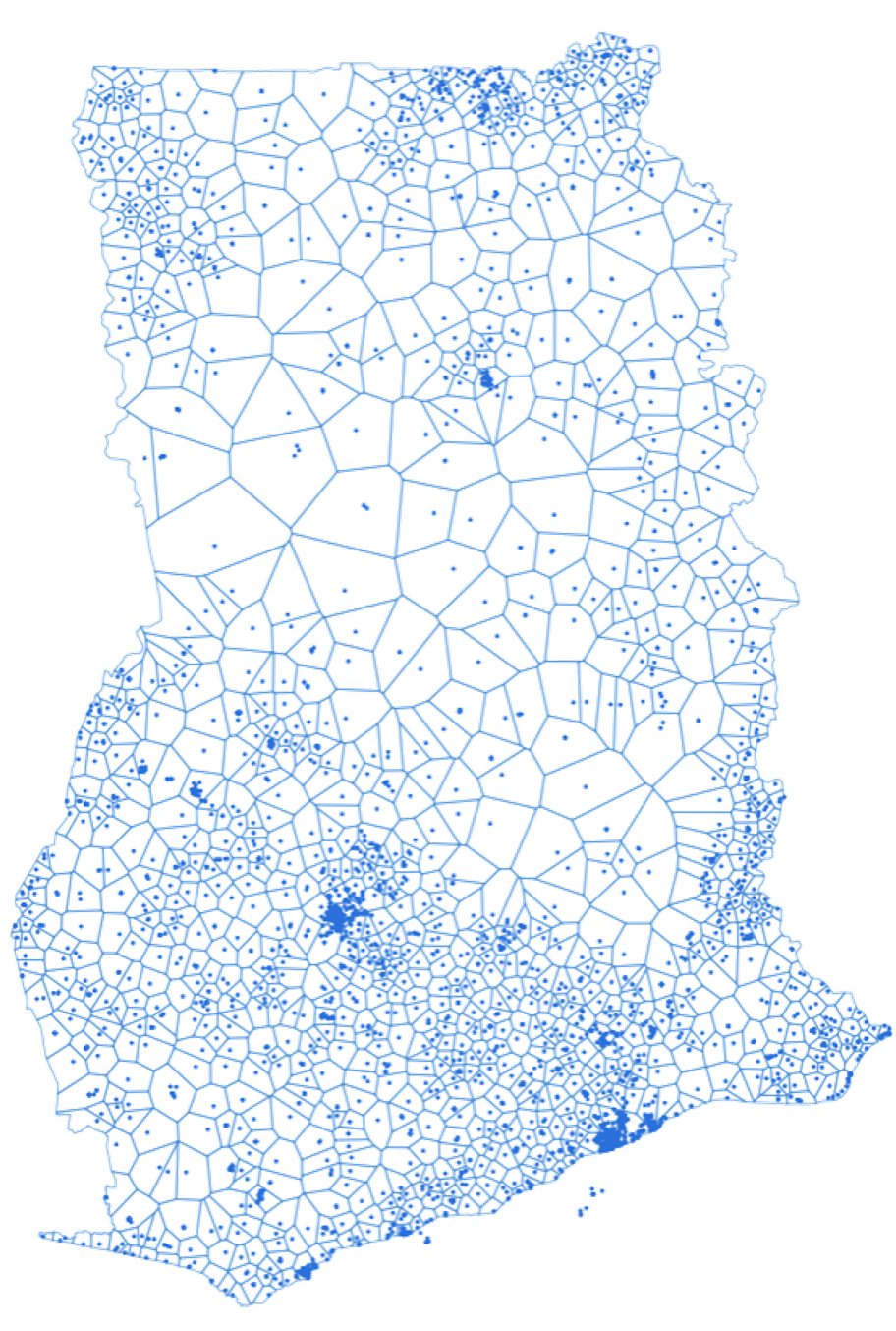
Since the last time we spoke, we deep dived into the data collection, assessment, and analysis to get an understanding of what kind of geo-spatial data is available. We put a strong focus on collecting and compiling all the data which have location specific attributes – meaning geo-coordinates. One part of this process is the visualization. We display the data in maps with different foci – for instance by extracting attributes for the regions of Ghana – and overlay different datasets to generate new insights. Fortunately, we were quite successful in identifying several datasets that work towards our project goal. For some, we were able use them as they were while others needed some post-processing to make them more useful for our purposes. For now, that was one of the key objectives before working towards the goal of developing an electrification strategy.